FARMS · RANCHES · LIVESTOCK · SOUTHWEST FLORIDA
Agricultural Drone & Thermal Imaging Services
Inspect More Land. Find Livestock. Identify Problems Faster.
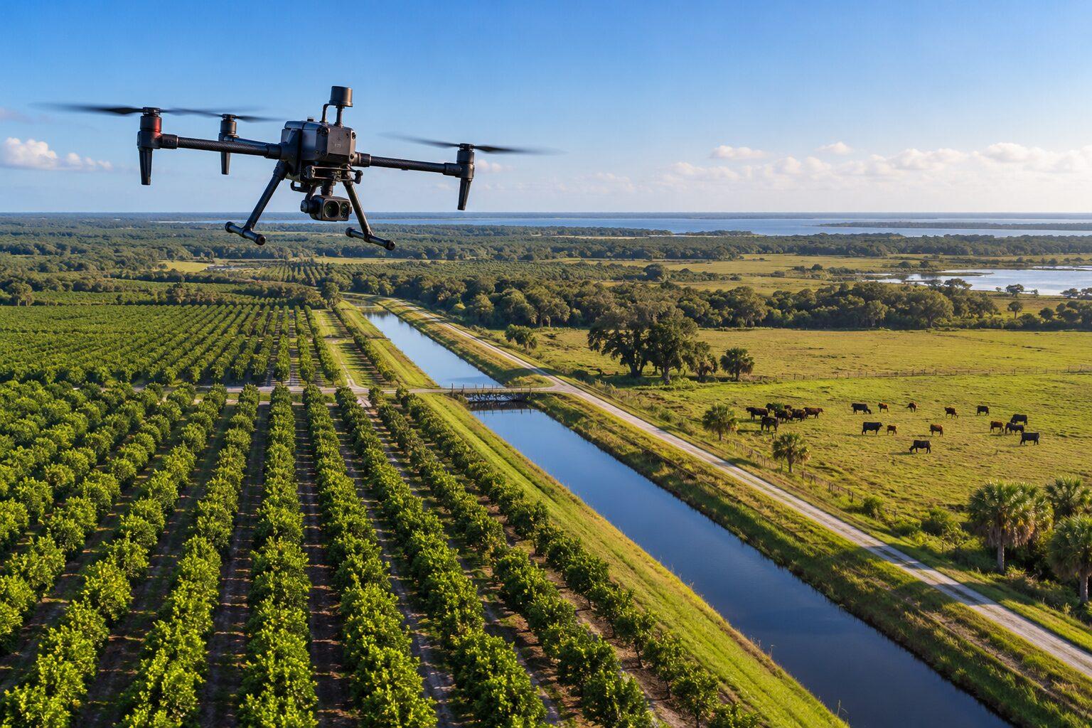
Professional aerial and thermal drone inspections for farms, ranches, agricultural operations, and livestock owners throughout Southwest Florida.
Get a better view of your property, locate missing animals, inspect irrigation systems, and monitor large agricultural areas without spending hours crossing difficult terrain.
AGRICULTURAL DRONE SERVICES
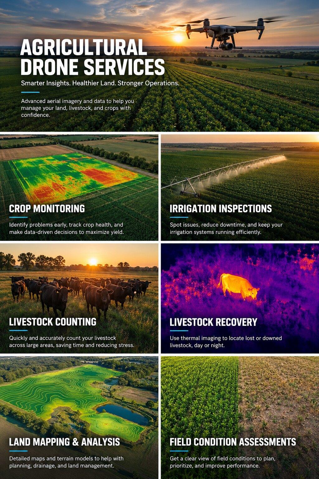
Six ways to see more of your operation.
01 / IRRIGATION INSPECTIONS
Find Irrigation Problems Before They Become Bigger Problems.
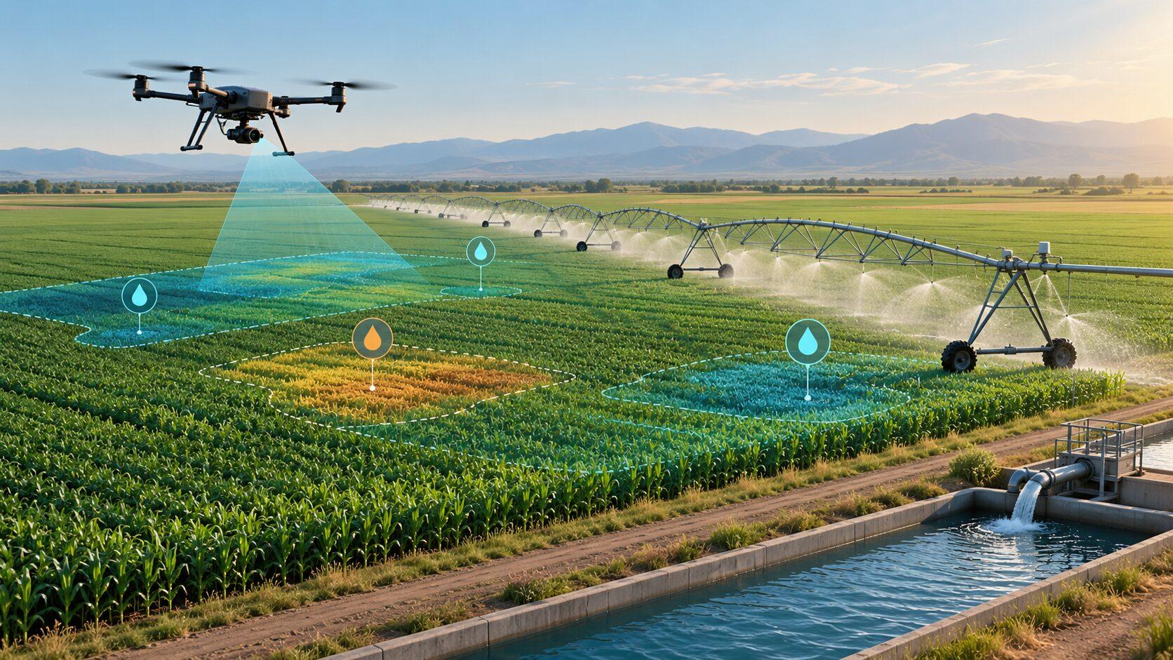
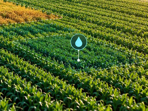
Drone inspections provide a fast, efficient way to examine irrigation systems, agricultural fields, and water distribution across large properties.
We help farm operators identify visible problems and areas requiring closer inspection.
Services include
- Aerial inspection of irrigation equipment
- Sprinkler pattern inspections
- Identification of possible blocked or malfunctioning sprinkler heads
- Investigation of unusually wet or dry areas
- Thermal imaging for surface-temperature differences
- Identifying potential crop water-stress patterns
- Drainage ditch and canal inspections
- Water distribution observations
- Documentation of suspected trouble spots
Thermal imaging and aerial photography can help identify potential problems but do not replace ground-based inspection or confirm underground leaks.
Request a quote for irrigation system inspections ↓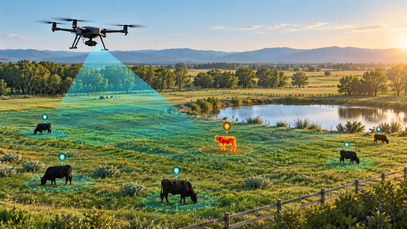
02 / LIVESTOCK SEARCH & RECOVERY
Missing Livestock? Search More Ground From Above.
Locating missing livestock across large ranches, wooded pastures, and difficult terrain can take considerable time.
Our aerial drone and thermal imaging services can help locate cattle and other livestock that are difficult to identify from the ground.
Services include
- Missing cattle searches
- Lost livestock location assistance
- Aerial searches of pastures and fence lines
- Thermal imaging searches
- Searches near wooded areas, ponds, and drainage areas
- Identification of possible animal locations
- GPS location reporting when available
- Search photography and video documentation
Search operations may be performed during daylight or under suitable low-light conditions, subject to applicable flight rules and property conditions.
Thermal cameras detect surface-temperature differences, which can help identify animals in suitable conditions. Dense vegetation, environmental temperatures, and obstructions can limit detection. A search is not a guarantee that missing animals will be found.
Request a quote for livestock search & recovery ↓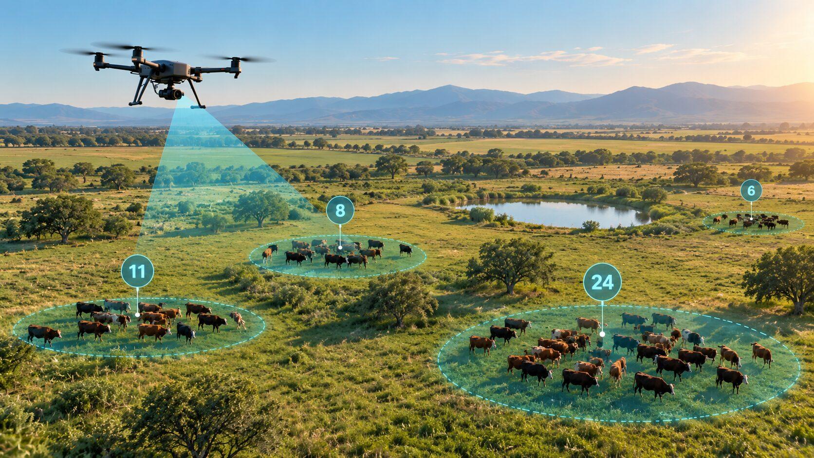
03 / HERD COUNTS & INVENTORY
Count Your Herd Without Covering Every Acre on Foot.
Aerial livestock surveys provide a practical way to observe herd numbers, animal distribution, and general pasture activity.
Using high-resolution aerial photography, we document livestock groups and develop estimated animal counts. When requested, we deliver annotated aerial photographs identifying animal groups and estimated counts.
Services include
- Cattle herd counting
- Livestock inventory surveys
- Aerial herd photography
- Pasture distribution monitoring
- Identifying isolated or separated animals
- Observing herd movement patterns
- Periodic inventory documentation
- Comparison photographs from repeated surveys
Aerial counts are estimates unless independently verified. Counts are developed from reviewed aerial imagery, not automated counting software.
Request a quote for livestock counting & herd inventory ↓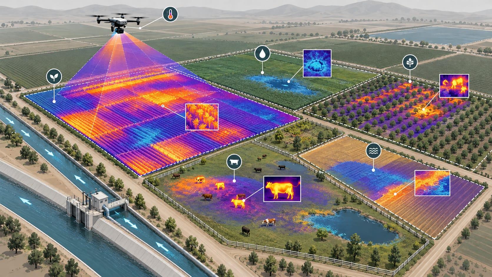
04 / AGRICULTURAL THERMAL IMAGING
See Temperature Differences That Ordinary Cameras Cannot.
Thermal drone imaging helps identify surface-temperature variations across agricultural land and can assist in locating livestock under suitable environmental conditions.
Applications include
- Livestock search assistance
- Surface-temperature surveys
- Irrigation irregularity investigations
- Crop water-stress screening
- Wet and dry area comparisons
- Agricultural equipment observations where appropriate
- Targeted thermal inspection photography
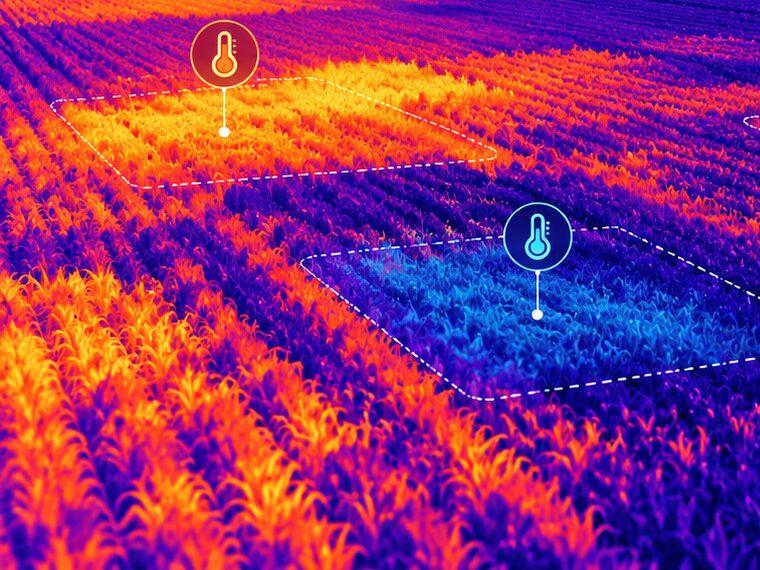
Standard photography shows what the property looks like. Thermal imaging shows relative surface temperature. Thermal patterns need interpretation and may require ground checks. For building, roof and solar thermal work, see thermal drone imaging.
Thermal results require interpretation and sometimes ground verification. Thermal imagery is screening information. It is not a veterinary diagnosis, exact underground leak detection, or definitive crop disease identification.
Request a quote for thermal imaging for agriculture ↓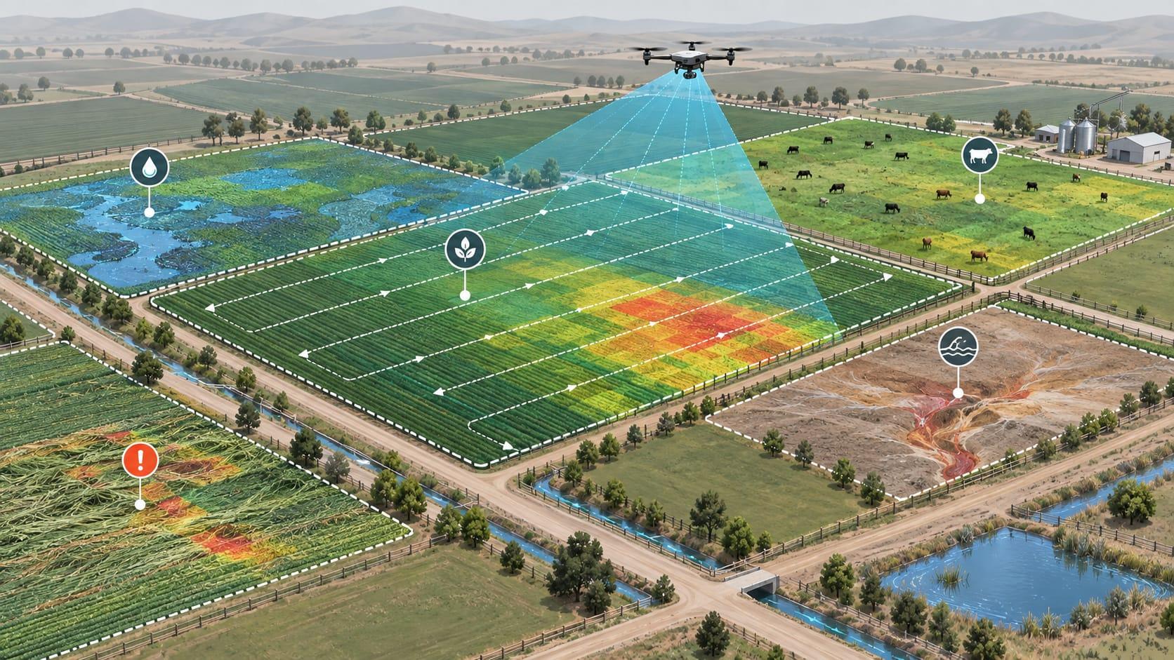
05 / CROP, PASTURE & FIELD MONITORING
A Better View of Your Agricultural Operation.
Regular aerial inspections can help farmers and property managers track changing conditions throughout the growing season.
Services include
- Crop condition photography
- Pasture condition monitoring
- Identifying irregular growth patterns
- Storm damage inspections
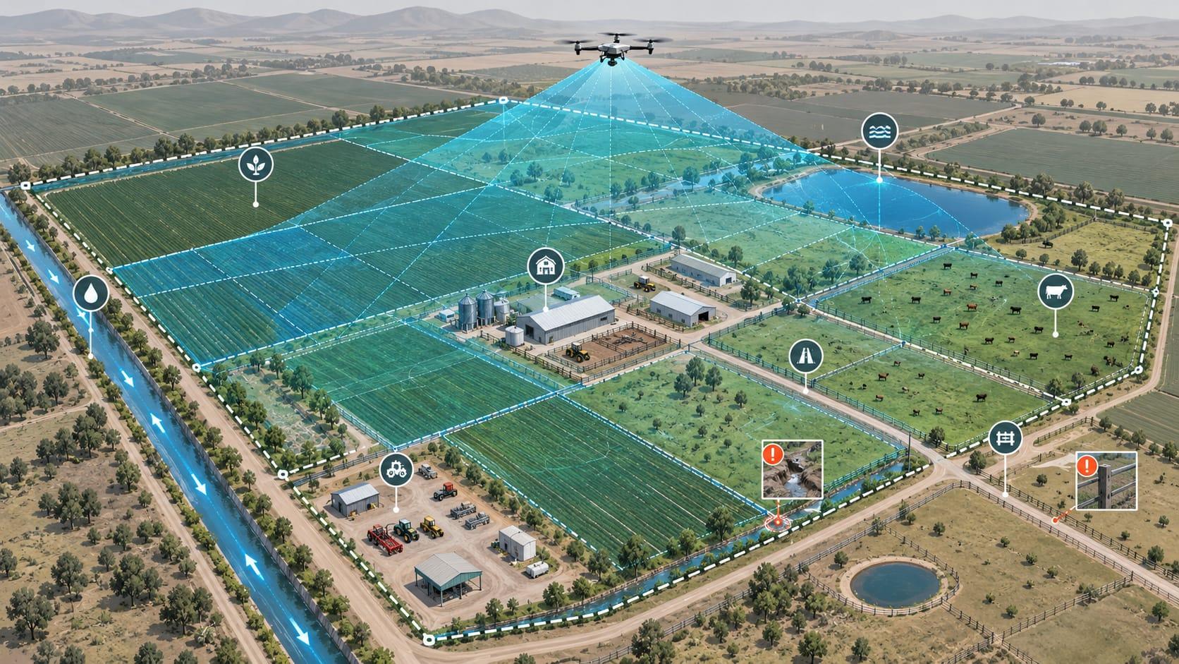
- Drainage and standing-water observations
- Erosion documentation
- Farm road inspections
- Fence-line reconnaissance
- General agricultural property assessments
Why periodic inspections matter
A single flight shows conditions on one day. Repeat flights from similar positions build a dated visual record that makes change easier to see: pasture recovery, standing water after heavy rain, erosion along ditches, storm damage, or fence and road deterioration.
Monthly, seasonal, or event-driven schedules can be arranged. Before-and-after imagery helps you plan maintenance, compare seasons, and document property condition over time.
06 / AGRICULTURAL PROPERTY INSPECTIONS
Whole-property views for farms, ranches and rural land.
Aerial overviews of fields, pastures, structures, farm roads, fence lines, ditches and ponds give owners and managers one clear record of property condition. After a storm, we can document visible damage across the property. See also storm damage documentation, drone mapping and aerial inspections.
WHY USE A DRONE?
Cover More Ground. Spend Less Time Searching.
Faster Property Inspections
Examine large areas and identify locations that may require additional attention.
Less Ground Travel
Reduce the need to cross every field, pasture, or remote section of a property.
Aerial & Thermal Perspectives
Use camera imagery to identify visible concerns and surface-temperature variations.
Documented Findings
Receive photographs, videos, and location references to help plan follow-up work.
WHAT CUSTOMERS RECEIVE
Deliverables built around your scope.
Depending on the service ordered, possible deliverables include:
- High-resolution aerial photographs
- Thermal photographs
- Aerial inspection video
- Annotated imagery identifying possible concerns
- Approximate herd count summaries
- GPS references for observed locations when available
- Inspection findings summary
- Before-and-after imagery for repeat visits
All deliverables match the scope of work agreed before the flight.
SERVICE AREA
Agricultural Drone Services Throughout Southwest Florida
From cattle operations near Alva, Buckingham and North Fort Myers to farms around LaBelle and Immokalee, we provide agricultural drone inspections across Lee, Hendry, Collier, Charlotte, DeSoto and Glades counties. Ranch and pasture work near Arcadia and Punta Gorda is also available. Additional agricultural and rural locations are available by request.
View our full service area ↗Communities
Counties
OPERATING STANDARDS
Safe, responsible flights around land and livestock.
- All commercial drone work is performed in compliance with applicable FAA requirements.
- Flight availability depends on airspace, weather, visibility, and operating conditions.
- Flights around livestock are planned to minimize disturbance and protect animal welfare.
- Animal counts are estimates unless otherwise verified.
- Missing animal recovery is a search service, not a guaranteed outcome.
- Thermal observations are screening information, not definitive diagnoses.
- We do not provide crop spraying or chemical application services.
REQUEST AN AGRICULTURAL DRONE INSPECTION
Tell Us What You Need Inspected.
CUSTOM QUOTES BASED ON ACREAGE, LOCATION, FLIGHT REQUIREMENTS, AND INSPECTION TYPE.
Share the property location, approximate acreage and what you need to find or document. We will follow up to discuss scope, timing and deliverables.
Missing livestock or time-sensitive? Call 239-980-1930
Or email ballantineds@gmail.com. Other inquiries: contact page.
FREQUENTLY ASKED QUESTIONS
Agricultural drone inspection questions.
Can a thermal drone help locate missing cattle?
Yes, under suitable conditions. Thermal cameras show surface-temperature differences, so warm animals can stand out against cooler ground, especially early in the morning or in low light. Dense tree cover, hot ground temperatures, and obstructions can limit detection, so thermal searches are combined with standard aerial video and photography.
Can drones count cattle in large pastures?
Yes. We photograph the herd from above and develop an estimated count from the imagery, with annotated photographs of animal groups when requested. Aerial counts are estimates unless independently verified, since animals can move, overlap, or sit under trees during a flight.
Can drones detect irrigation problems?
Drones can reveal visible irrigation issues such as irregular sprinkler patterns, possible blocked or malfunctioning heads, and unusually wet or dry areas. Thermal imaging can highlight surface-temperature differences that may relate to water distribution. Findings point you to areas for ground inspection and do not confirm underground leaks.
Can you inspect large agricultural properties?
Yes. Large farms and ranches are a strong fit for aerial inspection. Coverage per visit depends on acreage, terrain, airspace, weather, and the level of detail required. Larger properties may be planned over multiple flights or visits.
What information will I receive after an inspection?
Depending on the service ordered, deliverables may include high-resolution photographs, thermal images, inspection video, annotated imagery, approximate herd count summaries, GPS references when available, and a findings summary. Deliverables are agreed in the scope of work before the flight.
Do you offer repeat inspections?
Yes. Monthly, seasonal, or event-driven inspections can be scheduled. Repeat flights from similar positions make before-and-after comparisons easier and help document changes across the growing season.
Can inspections be completed at night?
Some work, especially thermal livestock searches, may be performed in low-light conditions where applicable flight rules, airspace, weather, and property conditions allow. Availability is confirmed when the flight is planned.
Are livestock searches guaranteed?
No. A livestock search covers more ground from above and can help identify possible animal locations, but terrain, vegetation, weather, temperature, and animal movement affect results. We cannot guarantee that missing animals will be found.
How is agricultural drone inspection pricing calculated?
Every job is quoted individually based on acreage, location, flight requirements, and inspection type. Thermal work, urgent searches, repeat schedules, and deliverable requirements also affect scope. Send the details through the form or call for a custom quote.
More general questions are answered on our FAQ page.